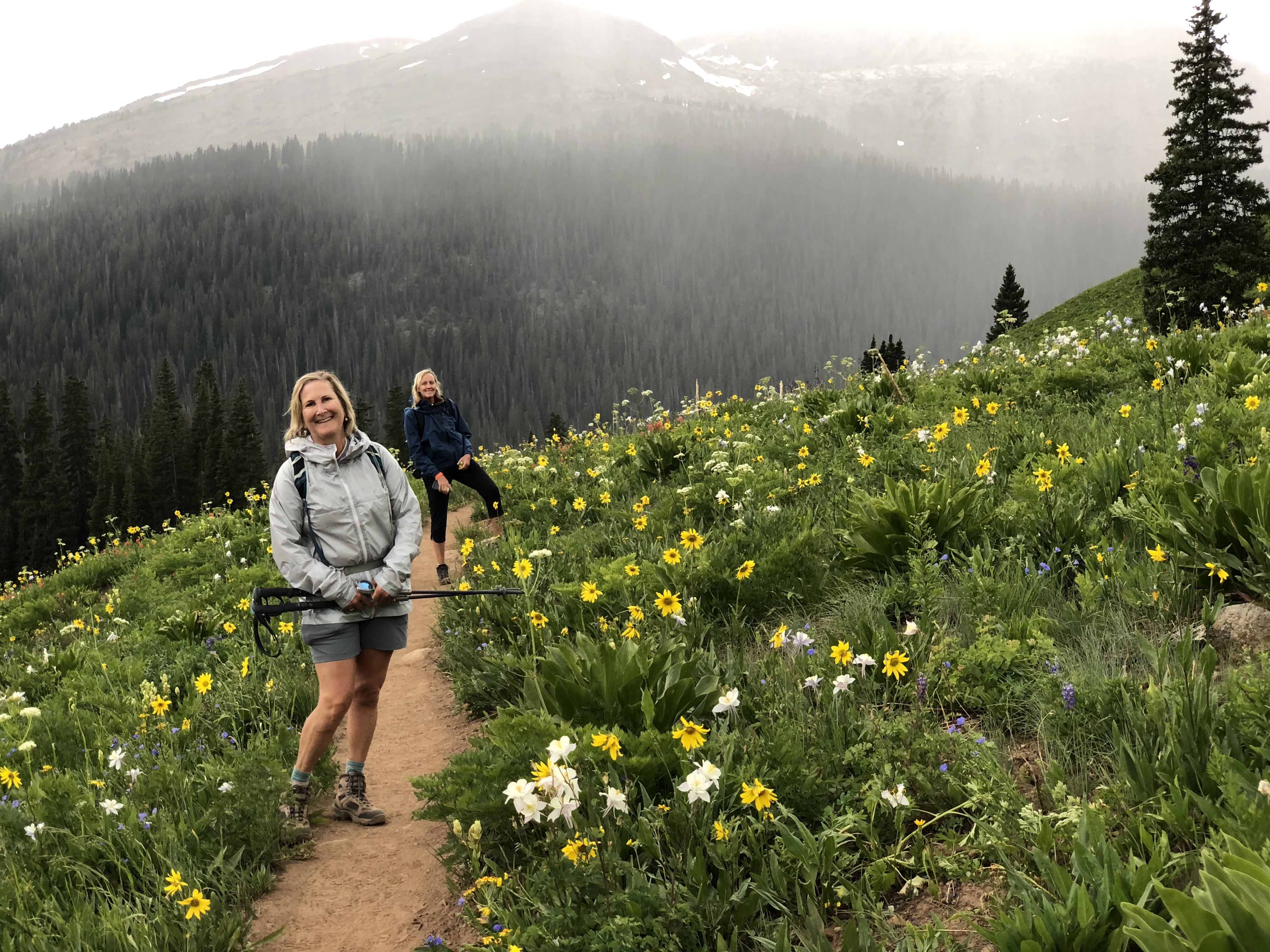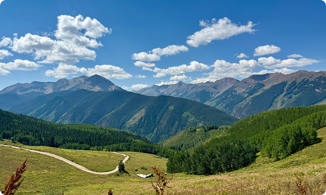
If you’re heading to Aspen Food & Wine this year, whether you’re pouring at a tasting, hosting a seminar, networking your way through town, or simply indulging in one of Aspen’s most delicious weekends, remember this: the mountains are part of the experience too.
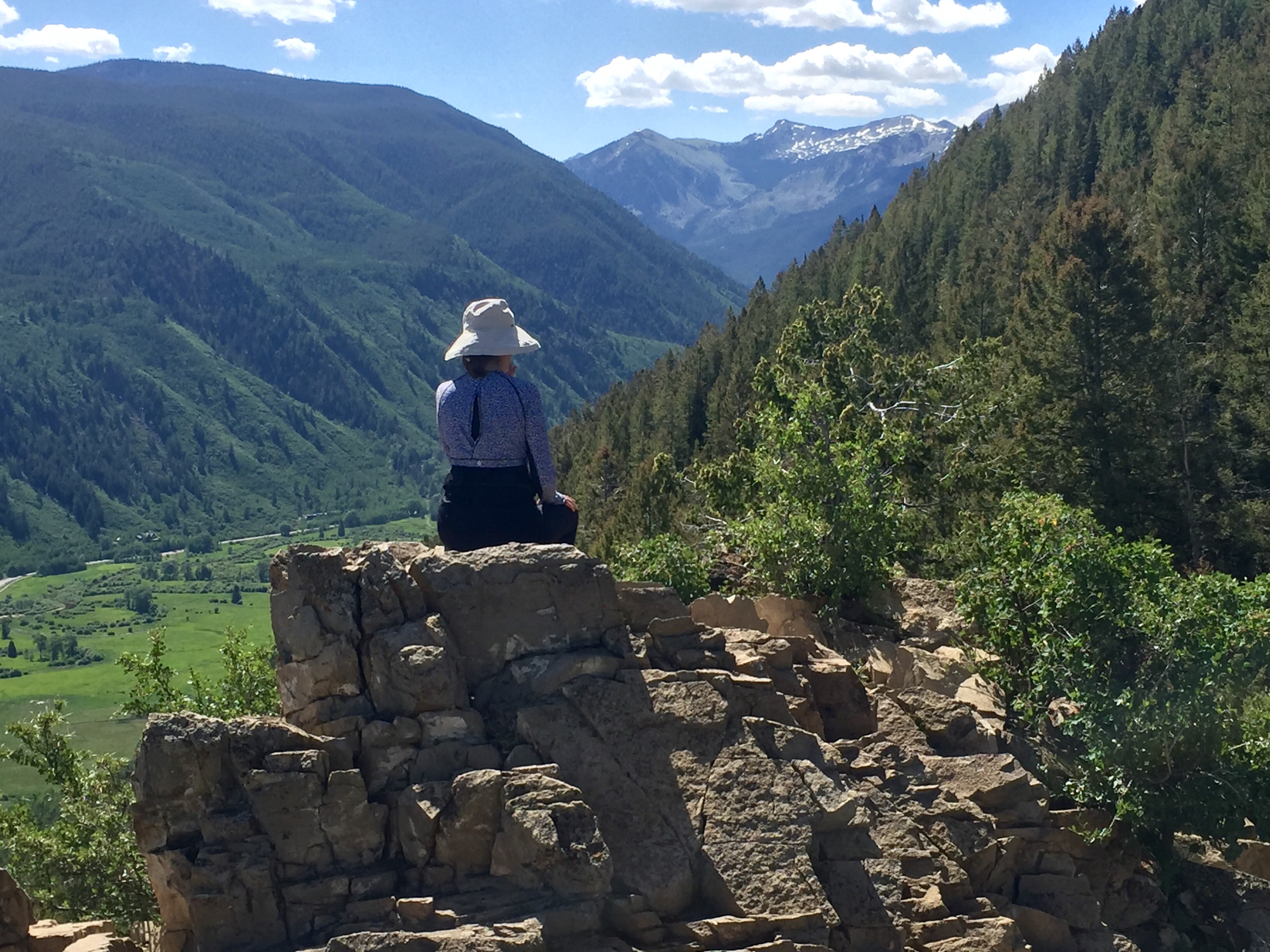
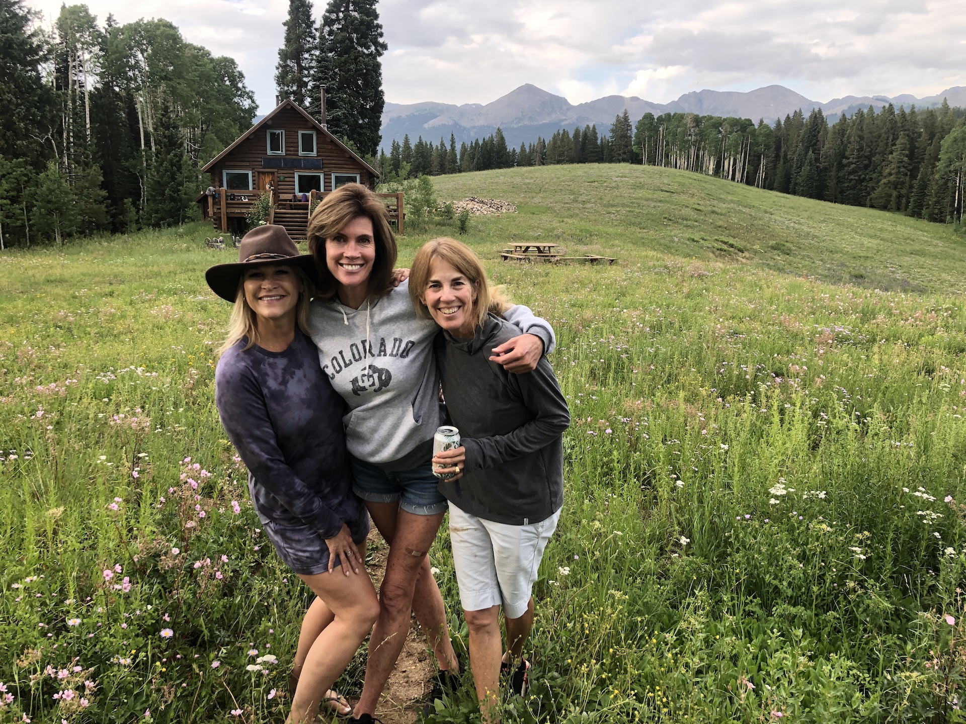
Between Grand Tastings, cocktail parties, and late-night dinners, there’s something deeply restorative about stepping onto a trail, breathing in the pine air, and seeing why so many of us never left after visiting Aspen for the first time. The beauty of Aspen is that within minutes of the Grand Tasting Tent, you can find yourself beside wildflowers, rushing creeks, shimmering alpine lakes, and panoramic mountain views.
So before your next rosé tasting or caviar bump, carve out a little time to reconnect with nature. Here are some of the best hikes within close proximity to the heart of Food & Wine weekend.
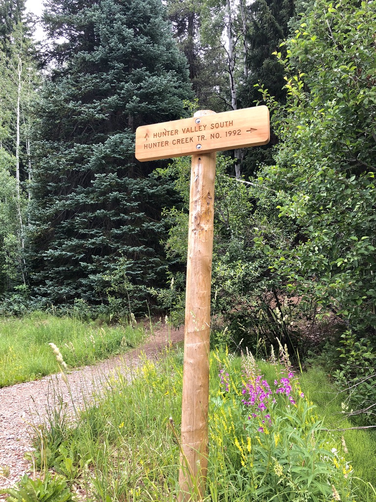
Hunter Creek
Miles one way: 6.5. Elevation: 8,900 ft. - 10,400 ft. The trail begins just east of the apartments on Lone Pine Road or directly off of the Rio Grande Trail extension. This is a beautiful gradual uphill climb along the Hunter Creek towards Hunter Valley. To access the upper trail, drive north on Mill Street, veer left onto Red Mountain Road and follow for 1.1 miles to Hunter Creek Road. Turn right onto Hunter Road and follow the signs to the parking lot. Upper portions of the trail pass through alpine meadows scattered with several abandoned homestead cabins. (EASY - MODERATE)
Smuggler Mountain Trail
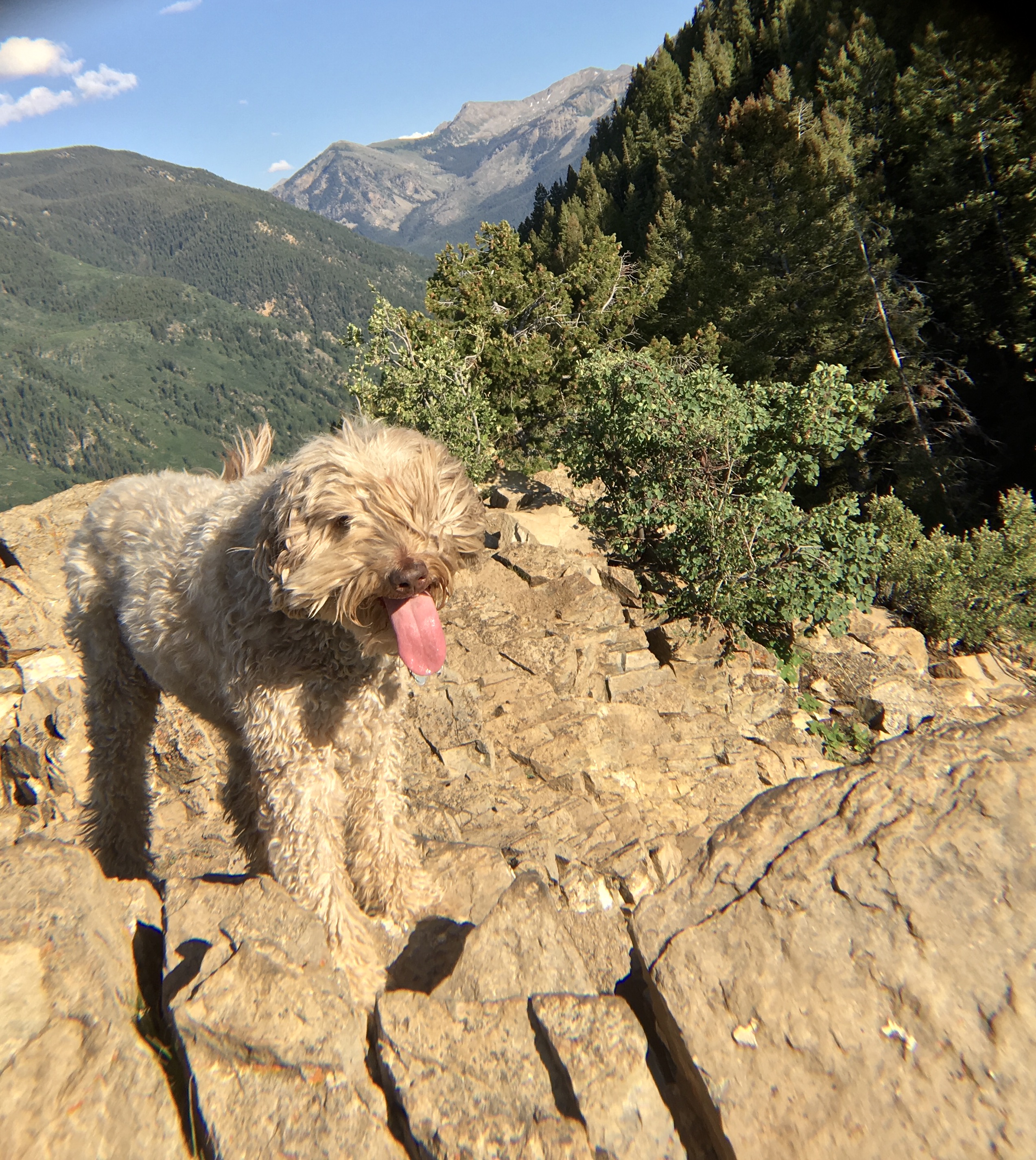
A local dog owner's favorite, this dirt road is a well trafficked road popular amongst the locals for those that only have an hour to get outside for reprieve from work. It is a short (1-1/2 mile) walk, run or mountain bike ride with great views of Aspen from the look-out point at platform. You can loop into the Hunter Creek Trail or continue up to Warren Lakes. (EASY - MODERATE)
Sunnyside Trail
Miles one way: 6.3. Elevation: 8,000 ft. - 10,000 ft. The first part of the trail contains a series of switchbacks through sagebrush and scrub oak. If you make it to the top the trail joins with the Hunter Creek Trail in the Hunter Creek Valley. As there are many spurs that can lead to one getting lost if you continue on a topographical map, or bringing a local along is recommended. (MODERATE - DIFFICULT)
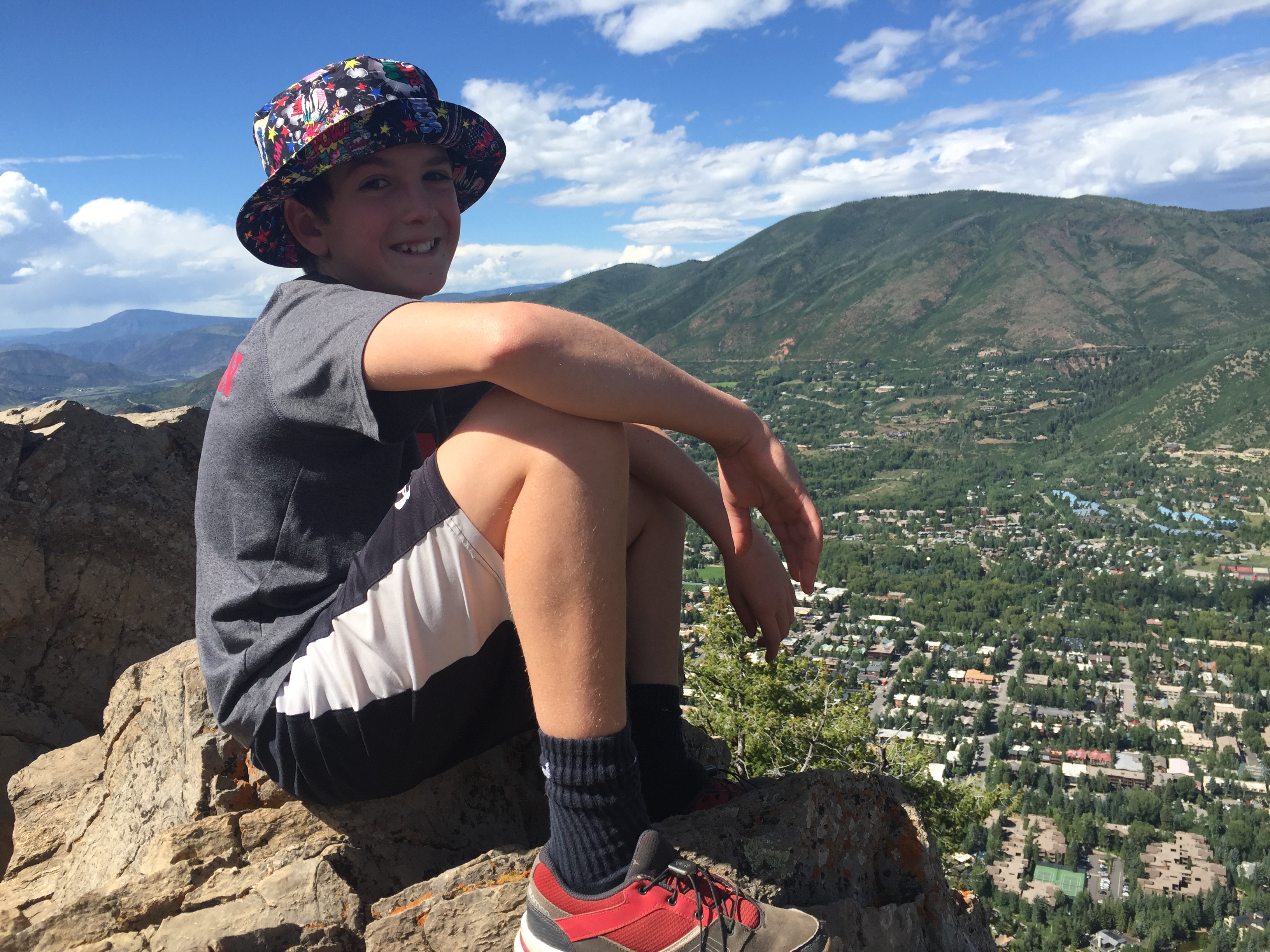
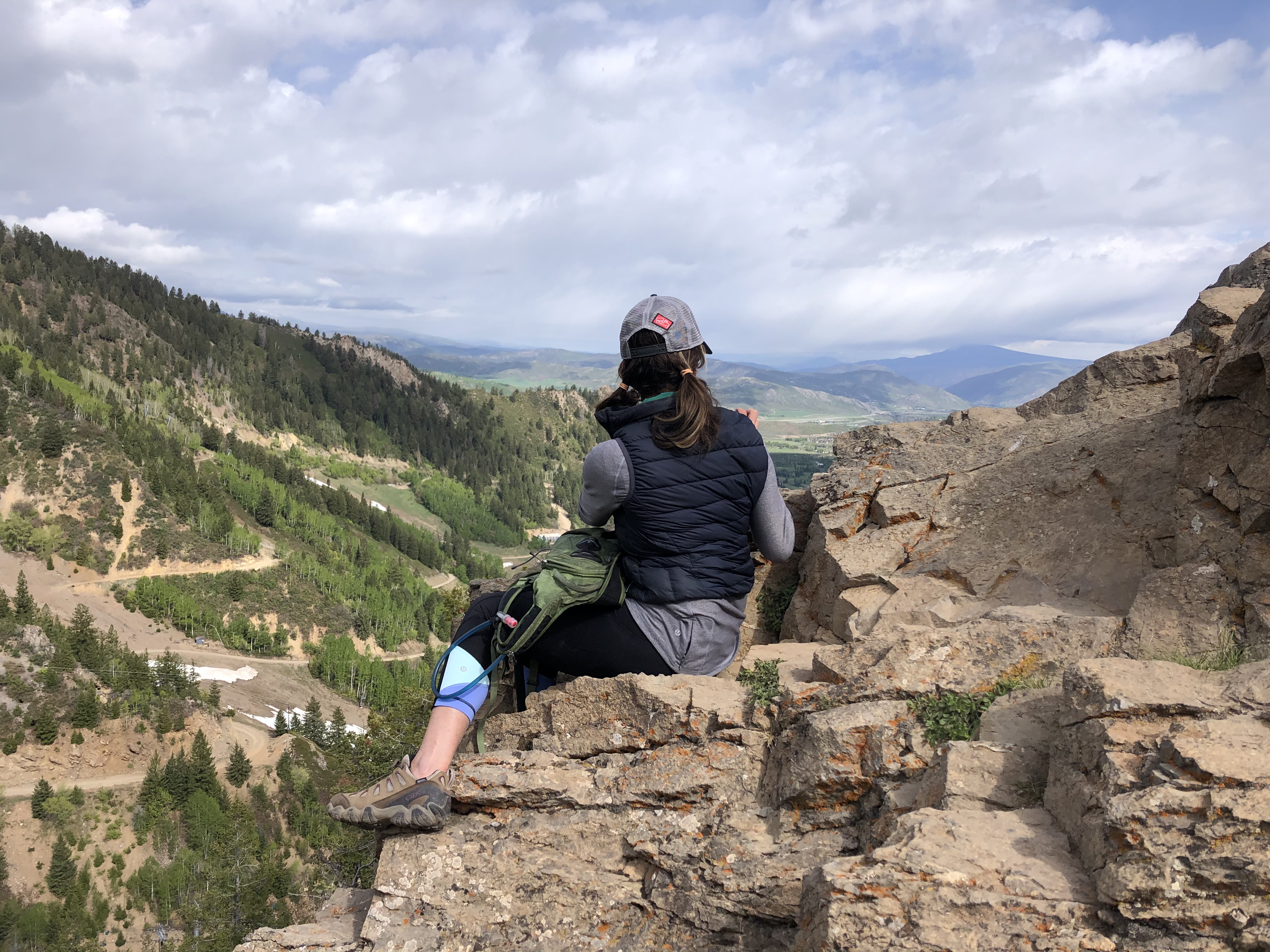
Ute Trail
Trailhead to Ute Rock Overlook – 0.9 Miles. Trailhead to top of Aspen Mountain – 3.1 Miles #dogfriendly. Starts close to town on Ute Avenue. The sign for the trail is approximately 0.4 miles up Ute Avenue on the right if you are headed east. It is steady uphill with switchbacks, 0.9 miles and 1,000 vertical feet to Ute Rock. The reward? A quick heart-pumping (or stopping) workout with incredible views looking up and down the valley. You can also continue to the top of Aspen Mountain (for the acclimated and fit it takes under two hours. Make sure the gondola is running to take you back down). (Difficult)
East of Aspen Trail
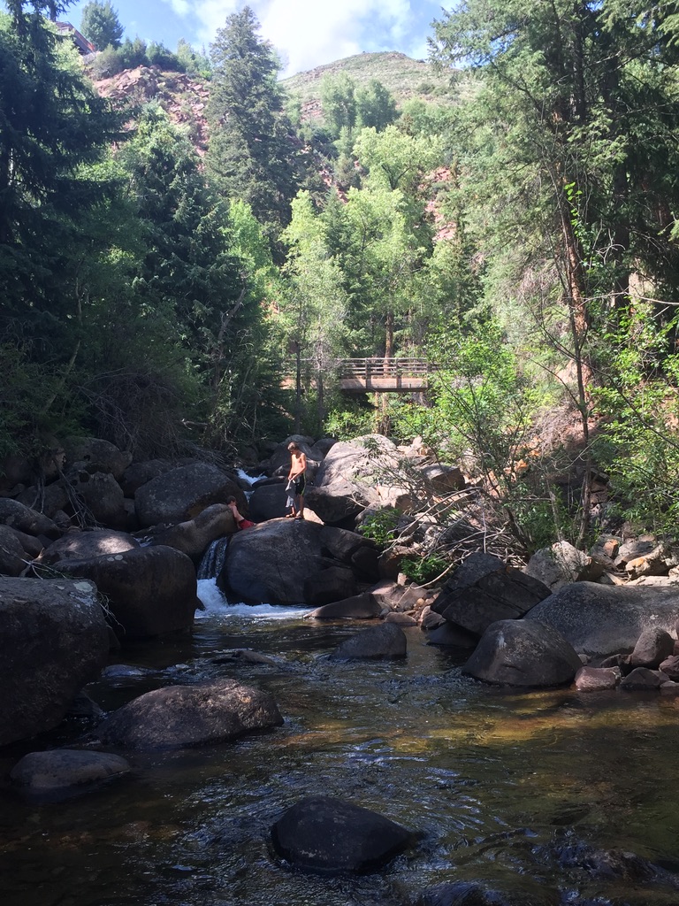
A 3.1 mile trail with dirt and paved sections. One of Aspen's most gradual and scenic #dogfriendly trails. This trail parallels the Roaring Fork River Southeast of Aspen for over 3 miles. There is an interpretive wildlife-viewing stand along this trail at the North Star Nature Preserve. (EASY)
So there you have it. No more excuses. Get out there and earn your vino!
- Remember it's the mountains and the weather changes rapidly. Bring water, electrolytes, rain gear, snacks, your phone and a map, and let people know where you are.
We want to learn about your products. Reach out and let’s do a tasting! Tag us on Instagram, Pinterest, X and Facebook. @AspenRealLife
For a map on hikes in our area, click here.